
Most cities that grew up around a river make a show of it — a promenade, a skyline reflected in water, postcards shot from the bridge. Santiago did the opposite. It walled the Mapocho into concrete channels, ran ring roads along both banks, and built its postcard views toward the Andes instead. What's left, if you actually walk it, is a loose 20-kilometre string of parks, markets and murals that almost nobody covers end to end — because almost nobody realises it connects.
Vitacura's quiet bookend
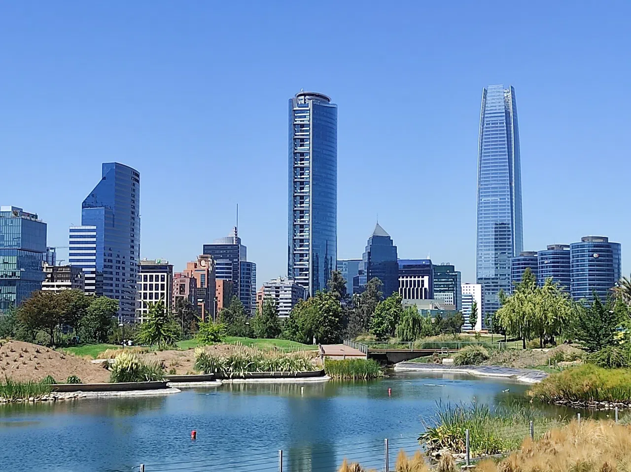
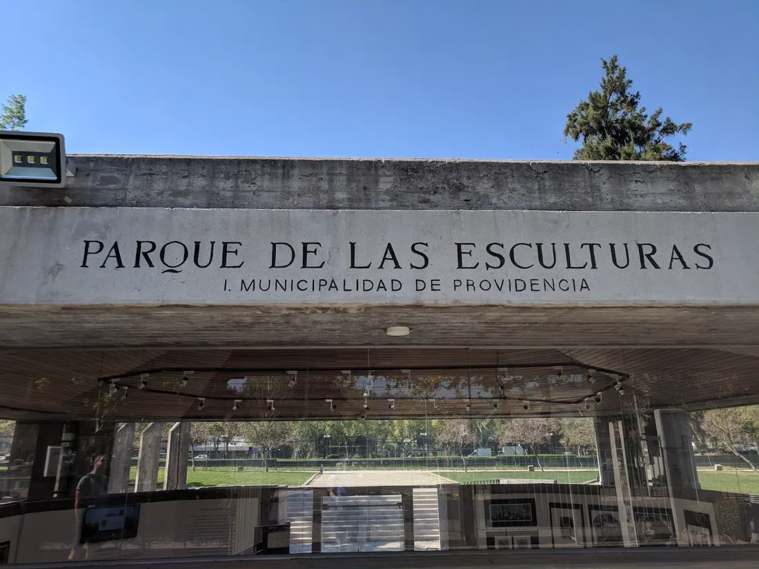
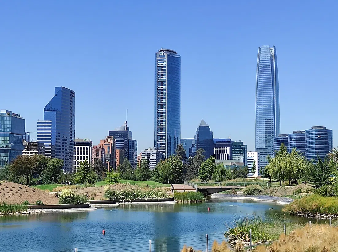
Start east, where the river still runs cold with Andean snowmelt and the traffic hasn't caught up with it yet. Parque Bicentenario (Vitacura) is Santiago's tidiest park by some distance — manicured lawns, black-necked swans on the ponds, joggers who look like they have a personal trainer waiting at home. It's free, unticketed, needs no booking, and absorbs a group of any size without anyone noticing you're there. A short walk along the water sits Parque de las Esculturas (Providencia/Vitacura border), an open-air sculpture museum that's easy to miss precisely because nothing marks it as a sight — no booth, no queue, just bronze and steel scattered across grass, open daily 8am to 6pm and free to wander at will. Together they make the trip's clearest argument: the river itself is Santiago's most overlooked gallery wall, not the ugly infrastructure hiding the real one.
The one morning that makes cycling worth it
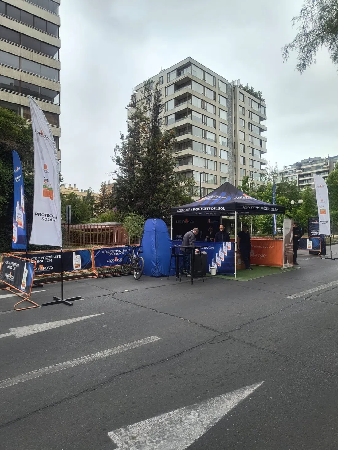
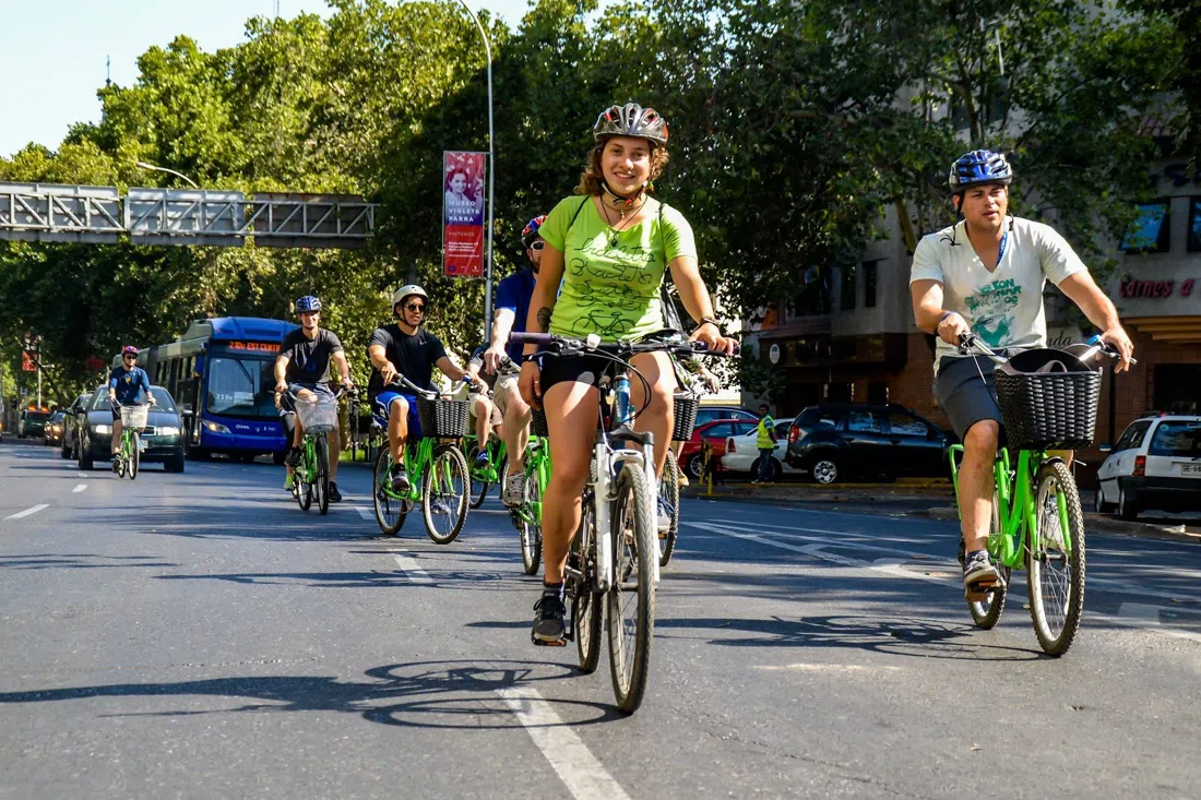
Most of the week, cycling the river means fighting bus lanes and delivery trucks on a road that was built for cars, not people. On Sundays and public holidays that changes: the Costanera Andrés Bello — Ciclorecreovía closes the riverside road to traffic from roughly 8am to 2pm, and for those six hours the Mapocho becomes rideable in a way it simply isn't the rest of the week. This is the detail that makes or breaks the trip — the closure itself is the infrastructure. It's free, unticketed, and takes any group size; half the city turns up on rented bikes, rollerblades and prams, so it never feels empty. If your dates don't line up with a Sunday, don't force the ride — walk the same stretch instead and save the cycling for the guided option later in this piece.
Where the quiet breaks: Bellavista
South of the river the trail runs straight into Barrio Bellavista murals (Bellavista), and the tone flips hard — from riparian quiet to the loudest colour in the city. Whole building facades painted floor to roof, some by recognised names, most anonymous, refreshed often enough that a photo from last year is already out of date. The streets are open and walkable solo at any hour, or joinable via any local walking-tour operator if you want context rather than just colour — guided tours run from around CLP 15,000 per person. Groups of any size work fine here; it's a neighbourhood, not a venue with a door policy.
Parque Forestal and the cultural spine
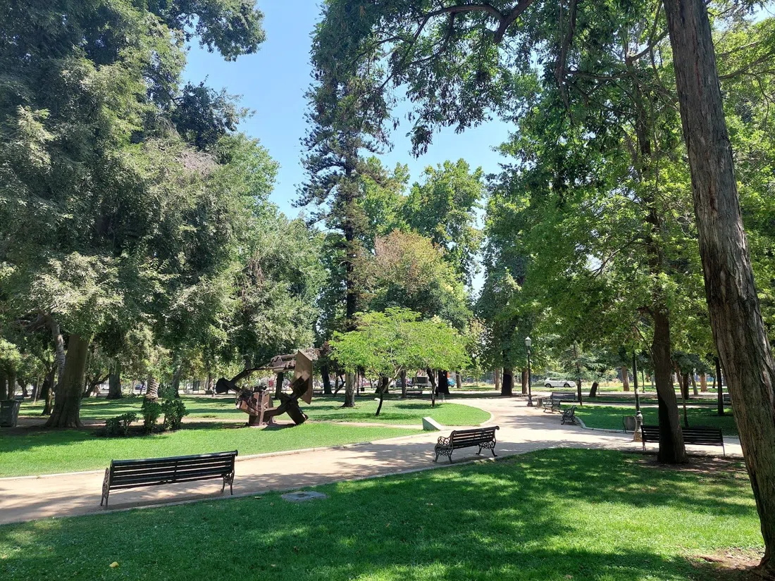
Back along the water, Parque Forestal (Bellas Artes/Lastarria) is the trail's cultural spine — a long, narrow, plane-tree-shaded park running parallel to the river with the Museo de Bellas Artes at one end and Lastarria's cafés and the GAM cultural centre a short walk off the other. It's open, unrestricted, and takes any group size. This is the stretch to slow down on rather than route through: benches, secondhand book stalls on some afternoons, and enough shade to make it the sanest place to be in the trail's midday heat, which by January regularly clears 30°C.
The market crossing
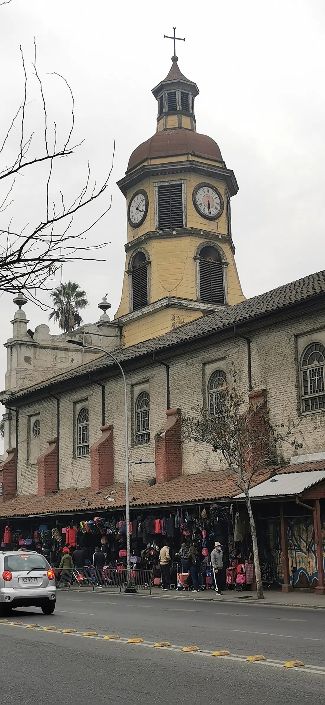
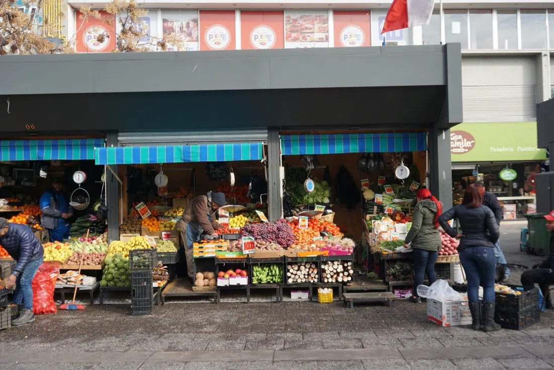
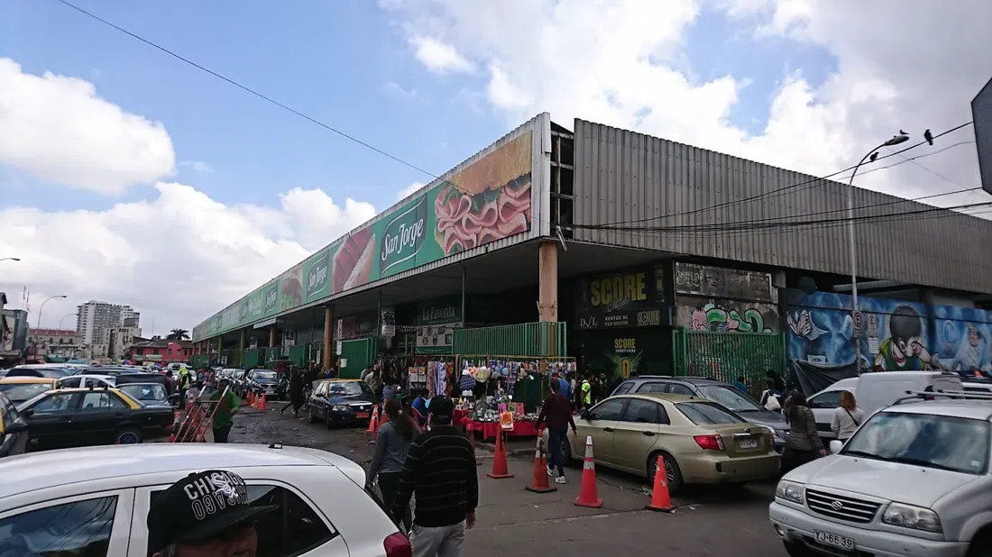
Where the trail crosses toward Recoleta, two markets sit close enough to do both in one morning, and the contrast is the point. La Vega Central (Recoleta) is the market Santiaguinos actually shop — open daily 6am to 7pm, no booking, handling crowds fine but with narrow aisles that mean guided groups should stay under about 12 people. It's free to browse and meals at the stalls start around CLP 6,000. One block over, Mercado Central de Santiago (Recoleta/Santiago Centro) is worth visiting for the ironwork alone — a 19th-century iron-and-glass shed that would hold its own in any European market guide, open daily (Sunday to Thursday 7:30am–5pm, Friday to 8pm, Saturday to 7pm). The honest advice: go for the architecture, eat at the rim stalls, and skip the tourist-priced sit-down tables at the centre unless you've booked ahead for a large group. Ten minutes' walk north, Barrio Patronato (Recoleta) is the immigrant layer of the riverbank story most guidebooks skip — Middle Eastern textile importers and Korean grocers and restaurants sitting a few streets apart, open, self-guided, no restrictions on group size, prices and quality varying block to block in a way that rewards wandering rather than planning.
Estación Mapocho, the river's old front door
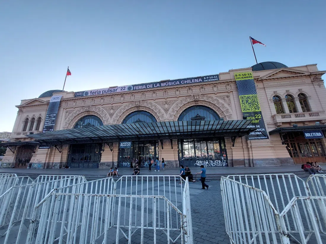
A few minutes' walk from the markets, Centro Cultural Estación Mapocho (Santiago Centro) is the trail's single grandest building and the clearest physical proof that the river used to be Santiago's transport spine, not its back fence — a former railway terminus with an enormous vaulted iron roof, now hosting everything from book fairs to corporate events. What's inside varies week to week between free public exhibitions and ticketed shows, so check the live calendar before planning a visit around it rather than just turning up.
Parque de los Reyes: skaters, not tour buses
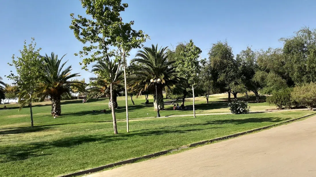
West of the centre the trail turns unglamorous, and that's the appeal. Parque de los Reyes (Quinta Normal/Santiago Centro border) is open Tuesday to Sunday 7:30am–7:30pm (Monday from midday), takes any group size, and belongs to skaters, families and joggers rather than anyone with a camera. There's no polish here and nothing is being sold to you — after the markets and the murals, it's the honest, low-key stretch that proves the river isn't only a backdrop for tourism.
Parque de la Familia: on the water, not beside it
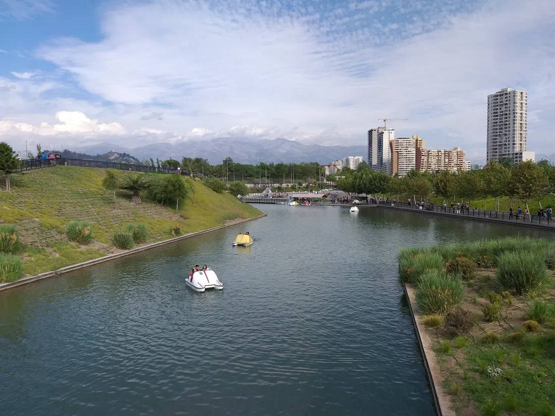
Continue west and the trail reaches its natural centrepiece: Parque de la Familia (ex Parque Fluvial Padre Renato Poblete, Quinta Normal), open daily 9am to 9pm with free entry, where you can actually get onto the Mapocho rather than just walk alongside it. Boat and kayak rental runs from around CLP 6,000 for 20 minutes, priced per person, and small groups are easy to accommodate. Everywhere else on this trail the river is scenery; here it's the activity.
Doing it properly: La Bicicleta Verde
If stitching all of this together solo sounds like more logistics than holiday, La Bicicleta Verde (based in Bellavista) sells exactly this route as a product — a guided ride that actually follows the Mapocho rather than a generic city loop. Tours run from roughly USD 35–70 per person depending on length and route, with bike rentals available separately for anyone who'd rather set their own pace. The operator is built for groups: cross six riders and a second guide is added automatically, so it works for a couple as easily as a larger party without either feeling like an afterthought. For visitors without much cycling time, it's the fastest honest way to see the river's spine in one outing rather than three separate trips.
Practical notes
Transport: the trail runs roughly parallel to Metro Línea 1, so you can drop in and out at Escuela Militar (Vitacura end), Baquedano (Bellavista/Forestal), Puente Cal y Canto (markets/Estación Mapocho) and Quinta Normal or Cumming (Parque de los Reyes/Parque de la Familia) rather than committing to the whole 20km on foot in one day. Cash: card is accepted almost everywhere on the formal side of the trail, but the market stalls and rim eateries at La Vega and Mercado Central run mostly on cash — carry small notes. Timing: the Ciclorecreovía only closes the Costanera to traffic on Sundays and public holidays, so build the cycling leg around that morning specifically rather than assuming the road is car-free daily. Santiago's summer (December–February) regularly hits 30°C-plus with no shade on the open stretches near the water, so start early; winter (June–August) brings occasional smog days when the Andes trap pollution over the basin, worth checking before a long outdoor day. Budget: most of this trail costs nothing beyond metro fares and market meals — a full day covering three or four sections, lunch at La Vega and a Metro pass comes in well under CLP 20,000 per person, before any guided tour or boat rental. For a base near the river's cultural stretch, start with a Santiago hotel search, and for the rest of the city beyond the water, the full Santiago guide covers what this trail doesn't.