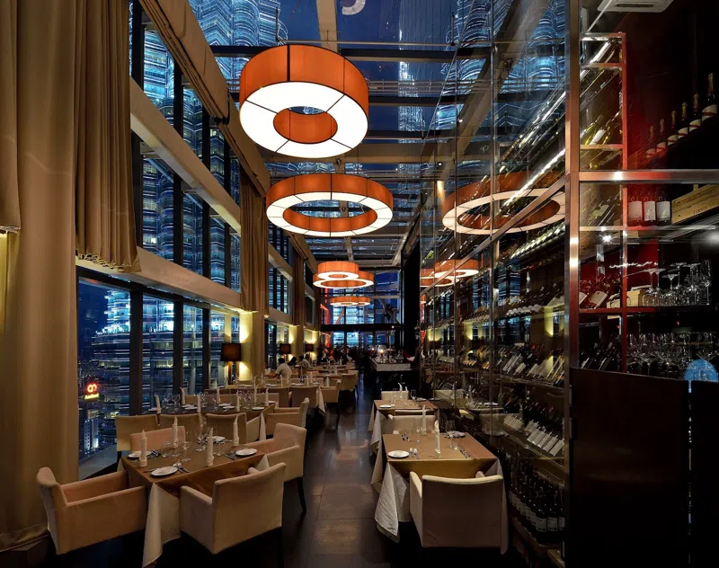
From the rooftop bars of Vitacura you can watch the sun drop behind a wall of rock that starts, quite literally, at the end of the tram lines. Santiago is one of the few capital cities on earth where you can leave a glass office tower, take a ten-minute taxi, and be standing on a scree slope with the entire grid laid out below you like a circuit board. This is a guide to that seam, the point where the city's vertical edge stops being a skyline and starts being a mountain range, built around hikes and trailheads you can reach the same afternoon you decide to go.
Where the grid stops and the climb starts
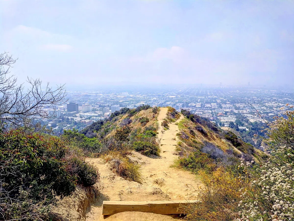
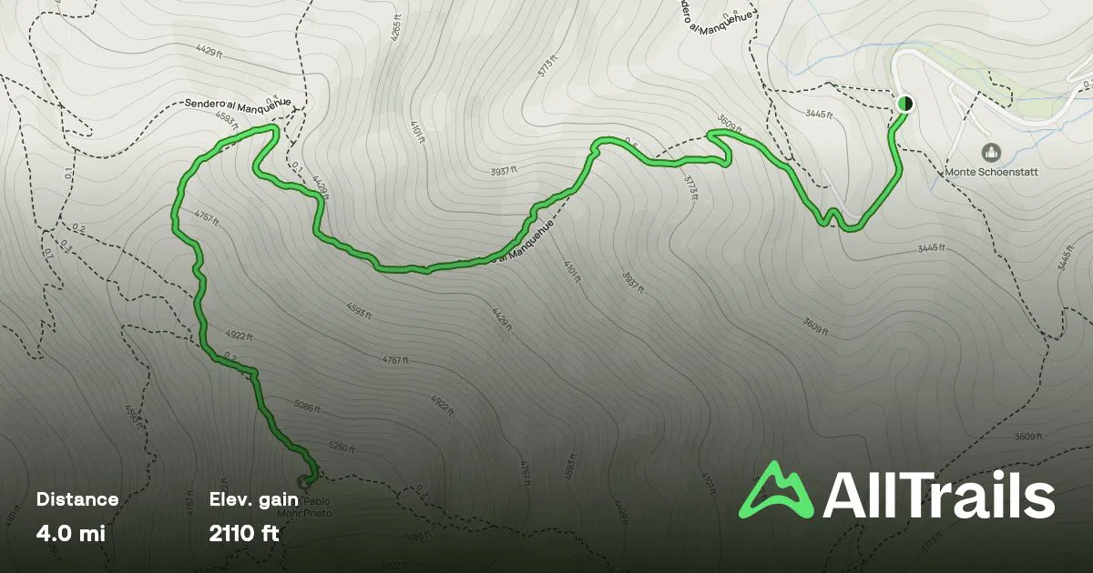
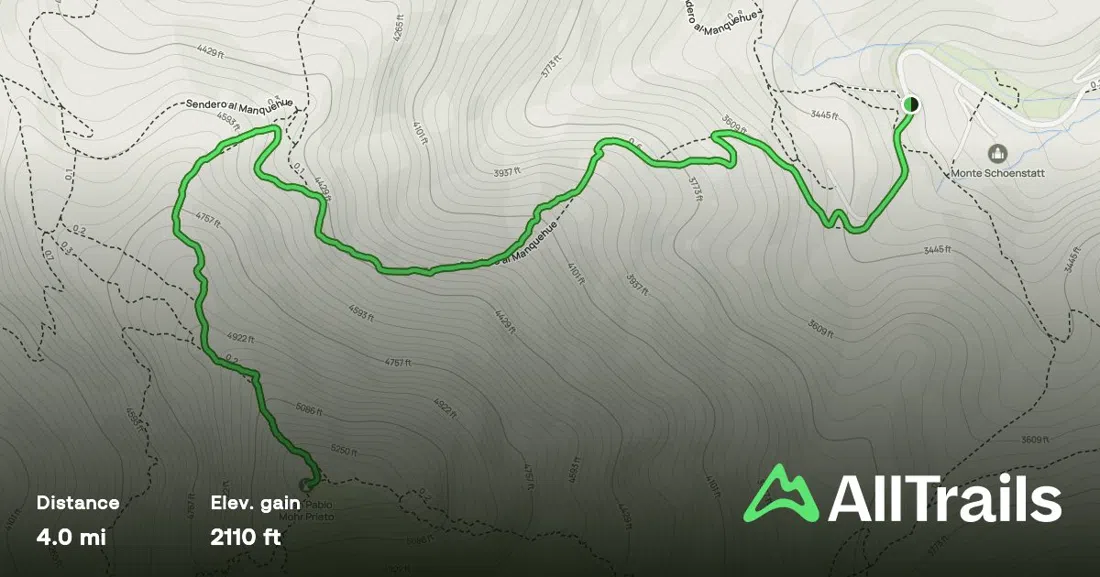
Cerro Manquehue (Vitacura) is the most literal version of this whole idea: the trailhead sits a ten-minute taxi from the glass towers of Nueva Costanera, and the summit is 2,100 feet above them. There's no booking system, no ranger check-in, no fee — you get dropped at the trailhead and start walking. The route is short and steep rather than long and gentle: expect loose scree on the upper third and a genuine scramble near the top, which is why it's popular with Santiago's after-work crowd as a training hike rather than a Sunday stroll. Groups move at their own pace here since nobody checks anyone in, which makes it forgiving for mixed-ability parties as long as everyone knows the final third is real hiking, not a paved lookout. Go early or go for last light — midday sun on bare rock in a Santiago summer is unpleasant, and in winter (June to August) check the exposed upper sections for ice before committing to the scramble.
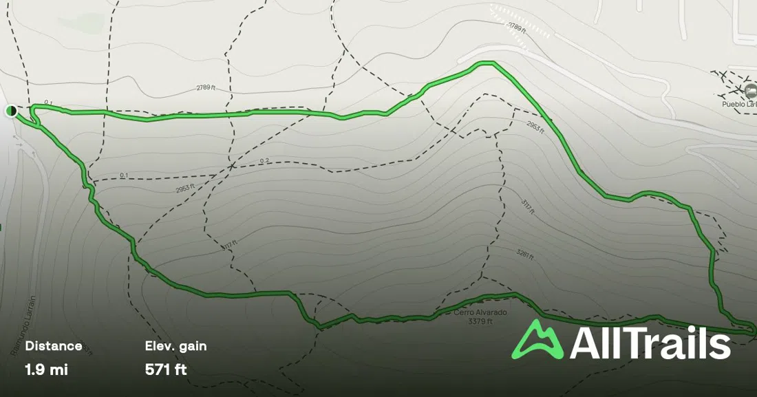
Cerro Alvarado (Las Condes, near Manquehue) is the golden-hour version of the same idea, and the shortest hike on this list — under 90 minutes round trip, self-guided, easy enough for a group that's had a big lunch and doesn't want a real workout. What it buys you is proximity: the summit sits right at the seam, the exact line where the last apartment block stops and the mountains start, with the city spread out below as the light goes orange. It isn't a wilderness experience and doesn't pretend to be. Treat it as a sunset errand rather than an expedition and you'll get exactly what you came for.
The precordillera parks that mark the real border
Where Manquehue and Alvarado are informal seams in the urban fabric, the next tier of hikes are the city's actual, administered edge: staffed gates, marked trails, entrance fees, and rangers who expect you to sign in.
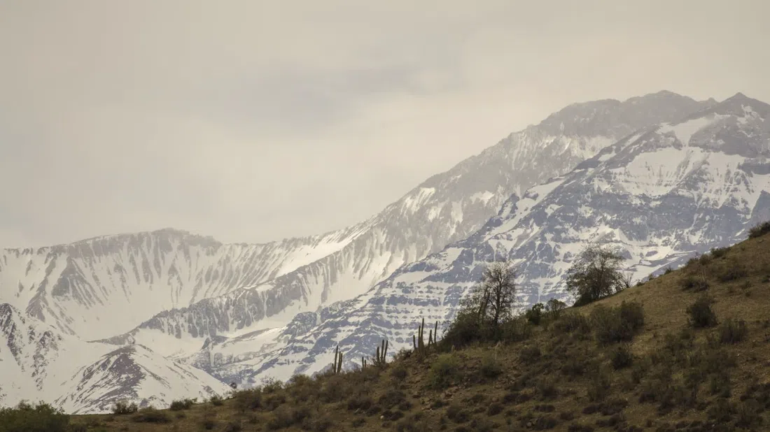
Parque Natural San Carlos de Apoquindo (Las Condes) is the jump-off point for the Alto del Naranjo and Cerro Provincia ascent, and if you want one outing that captures "city ends, Andes begin" in a single frame, this is it. Entry is staffed and costs around CLP 3,450 for an adult, which buys access to a genuinely serious trail network — Alto del Naranjo alone is a solid climb, and Cerro Provincia beyond it is a full-day undertaking with real elevation gain. It's family and group friendly at the gate, but be honest with your party about which route you're actually doing: the lookout at Alto del Naranjo is achievable for most fitness levels, Cerro Provincia is not a casual add-on.
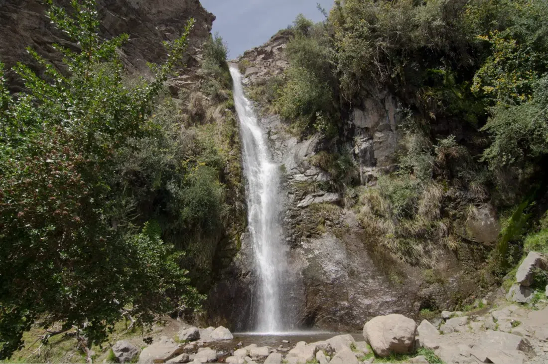
Parque Natural Aguas de Ramón (Peñalolén) is the closest thing Santiago has to an official gateway into the foothills, and the pick for readers who want the vertical-edge experience without giving up a full day to it. Entry is CLP 3,450 for adults and CLP 2,300 for concessions, the gate is staffed, and groups are explicitly welcome, but there's a hard cutoff: last trekking entry is 13:00, and proper footwear is mandatory rather than a suggestion, since the trail crosses water and loose ground on the way to its waterfall payoff. Turn up at 1:15pm expecting to start a trek and you'll be turned around at the gate.
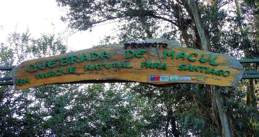
Parque Natural Quebrada de Macul (La Florida/Macul) sits on the southeastern flank of the city rather than the usual Vitacura-to-Las Condes corridor most of this list covers, which makes it worth a special mention: the vertical-edge effect isn't a single district's private feature, it happens everywhere the city meets the range. The gate is staffed, entry is free, and rangers ask you to register your intended route before you set off, since it's a multi-route trailhead rather than a single path.
The full climb in one push
If the appeal of this whole theme is doing the entire transition — city to summit, in one continuous effort — the answer is Cerro La Cruz via Parque Mahuida (La Reina). This is the serious version: 14 kilometres and roughly 1,700 metres of elevation gain, checked in and out at the Plaza de los Senderos ranger post, free beyond the park's own entry. It's a full-day commitment, not a morning activity, and while there's no formal group cap, treat it the way any full-day mountain trail deserves to be treated: start early, tell someone your plan, carry more water than feels necessary, and don't attempt it in poor weather. This is the hike for the reader who wants the whole thesis of this piece — skyscraper to summit — delivered in a single unbroken push rather than sampled across an afternoon.
A downtown summit and an easy family loop
Not every entry on this list requires a taxi out to the eastern suburbs. Cerro San Cristóbal, reached through Parque Metropolitano at Pío Nono in Bellavista, starts literally downtown — you can walk to the base from a hotel in the historic centre. It's the counterpoint entry in this guide: instead of remote wilderness, you get a summit that still reads as skyscraper-adjacent, with the option to walk up or ride the historic funicular. A combined funicular-teleférico ticket runs from around CLP 4,000 (the walking trail itself is free). It handles crowds easily and has combo passes for larger groups, which makes it the one hike here you can genuinely do as a mixed group of hikers and non-hikers without anyone having a bad time.
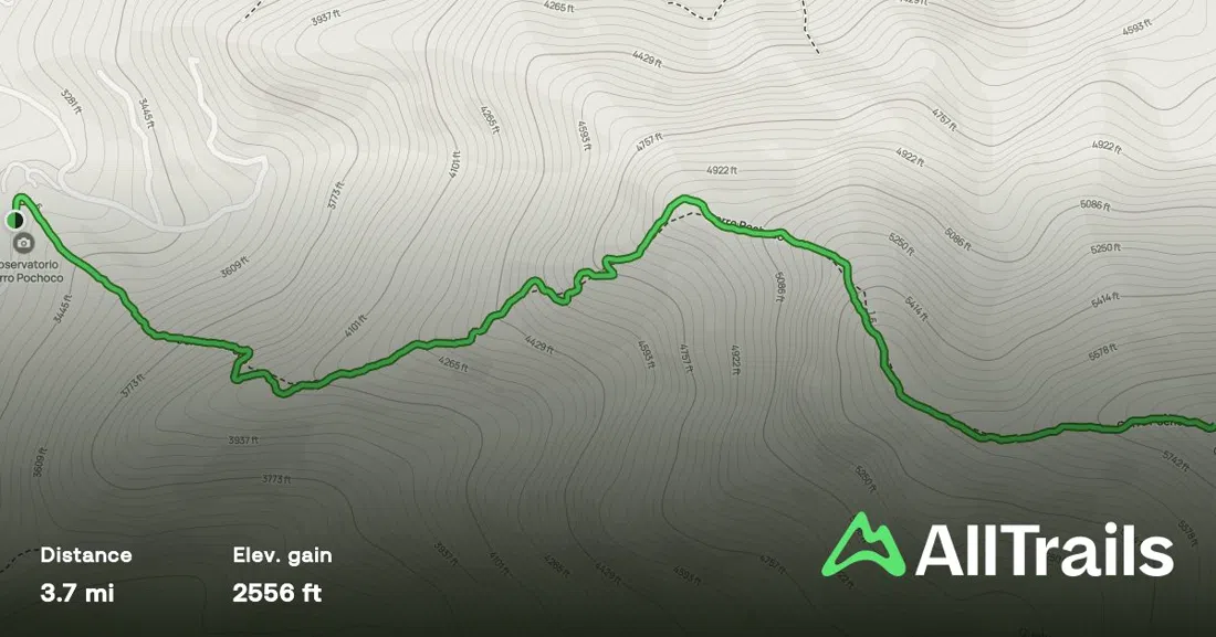
At the other end of the difficulty scale, Cerro Pochoco (Lo Barnechea) is the accessible entry point of this whole theme — a 1.5-to-2-hour round trip, self-guided, genuinely manageable for mixed-fitness groups and families who want the same vertical-edge payoff without the commitment of a full trekking day. It's free, there's no booking, and it's the hike to suggest to anyone in your group who says they're "not really a hiker" but still wants to see what the fuss is about.
The northern rim proves the point too
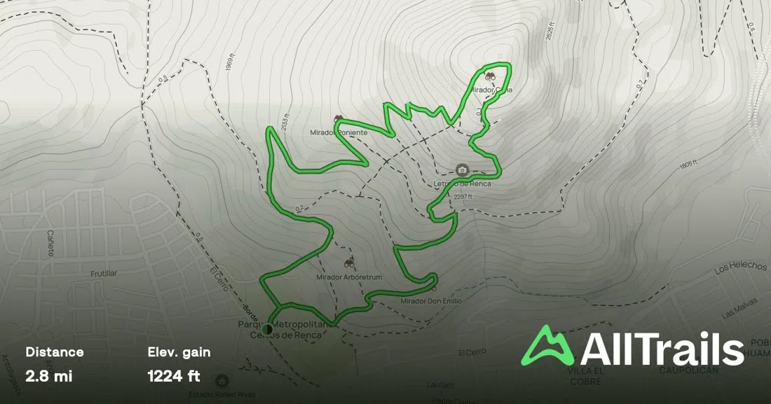
Almost everything in this piece so far sits on the city's eastern, Andes-facing side — Vitacura, Las Condes, Lo Barnechea, La Reina, Peñalolén. Cerro Renca, on Santiago's northern rim, is the deliberate outlier: a community-reforested hill, self-guided, roughly two to two-and-a-half hours round trip, free, and easy for groups. It isn't as dramatic as the precordillera parks and isn't trying to be. Its value is proving that the vertical-edge framing isn't an eastern-suburb luxury. Renca is a working-class comuna, and its hill gets the same treatment: replanted, walkable, and genuinely used by the district it belongs to rather than staged for visitors.
Going higher into glacier country
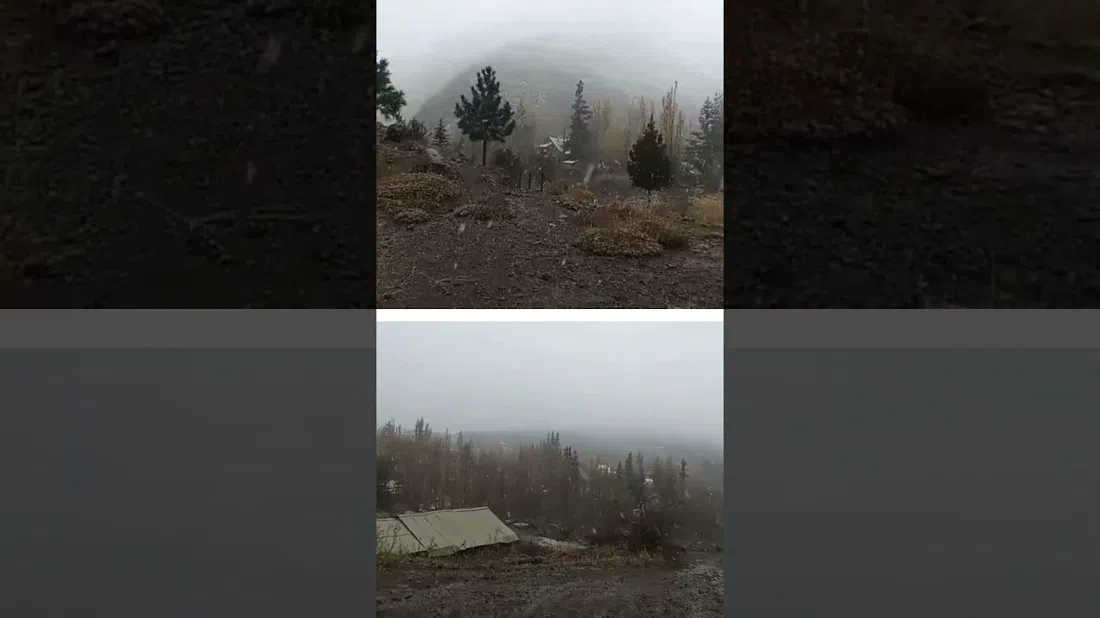
For readers who want to pair a foothill hike with the real high-Andes payoff a short drive further up the same valley, there's Monumento Natural El Morado (Cajón del Maipo), a CONAF-managed reserve built around a genuine high-altitude glacier hike. This is a step up in every sense: entry is CLP 3,000 for Chilean nationals and CLP 6,000 for foreign visitors, and CONAF handles guided groups well, but the gates stop admitting new entries at 12:30 or 13:00 depending on the season, so this is not a hike to show up to at lunchtime. Given the current winter season, expect snow and ice on the upper trail and possible route restrictions. Check CONAF's own conditions update before driving out, and don't treat the glacier viewpoint as guaranteed reachable between June and August. Pair this with one of the closer-in hikes on a separate day of the trip rather than trying to do everything in one visit; it's a different scale of outing.
Guides for readers who'd rather not plan it themselves
Most of this list is entirely self-guided and free, which is part of the point: Santiago's foothills don't require a tour operator. But two local outfits are worth naming if you'd rather hand off the logistics.
AndoAndes is a 19-year local specialist built specifically around this precordillera corridor, and it's the operator to book if you want a guided version of the Cerro Provincia or Alto del Naranjo ascent without organising transport or route-finding yourself. Tours run as small groups or private bookings, with transport, a guide and lunch included, and they take a wide age range — roughly 16 to 70 — which makes them a sensible choice for a mixed-ability travelling group. Expect to pay USD 60 to 120 per person depending on the route.

Cascada Expediciones is Chile's best-known adventure-travel house, established in 1991, and it still runs Andes day hikes out of Santiago through the winter months. Groups are capped small — two to fourteen people, generally no more than twelve — guides speak English, and the minimum age is 14, so it leans slightly more toward capable teens and adults than young families. Pricing starts around USD 180 per person in low season for two travellers, noticeably more than AndoAndes, which reflects the outfit's broader reputation and tighter group sizes rather than a different product.
Getting there, paying for it, timing it right
Every trailhead in this guide is reachable by taxi or rideshare from central Santiago, from Vitacura, or from Las Condes, generally in 15 to 30 minutes. Public transit will get you close to a couple of them (San Cristóbal is a short walk from Baquedano metro station), but not to most of the precordillera trailheads, so budget for a taxi both ways, since cars rarely wait at these gates for a return trip. Carry cash: entry fees at the staffed parks (San Carlos de Apoquindo, Aguas de Ramón, El Morado) are typically collected at the gate, and card machines out there are unreliable. Start early regardless of season: Santiago's precordillera has minimal shade, and afternoon light and heat both work against you on the exposed upper sections of Manquehue, Alto del Naranjo, and La Cruz. In winter, check conditions before driving to El Morado specifically, since snow can close the upper trail without notice. Budget a full day for Cerro La Cruz or El Morado, half a day for the precordillera parks, and under three hours for Pochoco, Alvarado, or Renca. If you're building a trip around this theme, base yourself somewhere central enough to reach both the eastern trailheads and downtown San Cristóbal — see the Santiago guide for where to stay, and the Santiago hotel search to book it.